Jump to Content
Contributing Institutions
Collection Guides
Browse Map
About OAC
What are Collection Guides?
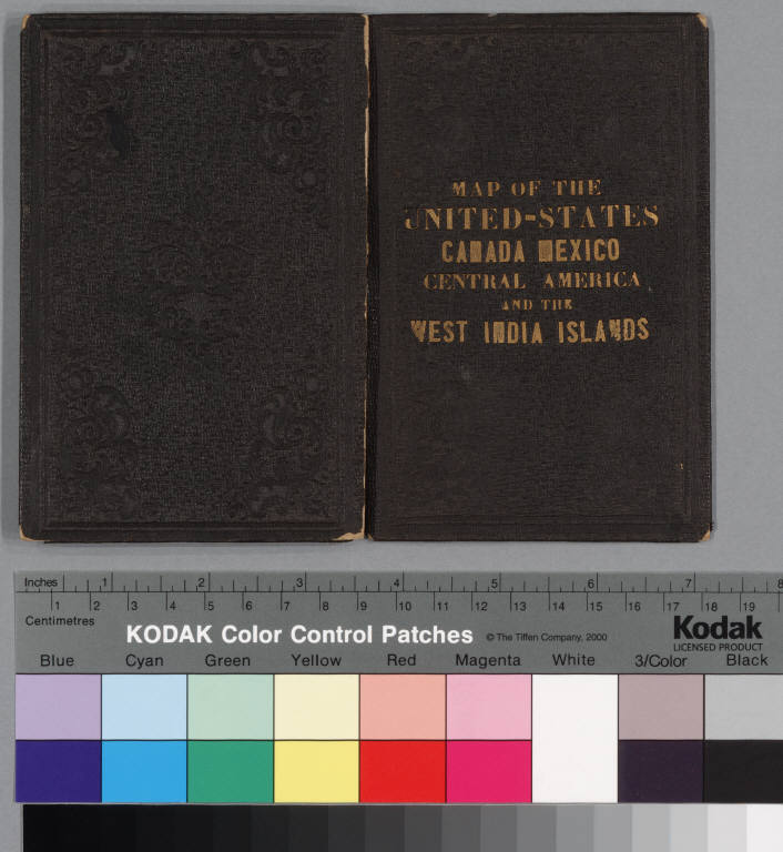
Map of the United States, Canada, Mexico and the West Indies with Central America, showing all the routes to California with a table of distances
cover: Map of the United-States, Canada, Mexico, Central America and the West India Islands
Click image for larger view
next
image only
image with details
Title:
cover
Caption:
Map of the United-States, Canada, Mexico, Central America and the West India Islands
Identifier:
uclamss_990_b31_4-front cover
From:
Map of the United States, Canada, Mexico and the West Indies with Central America, showing all the routes to California with a table of distances
Collection:
Pamphlet maps collection on California
Contributing Institution:
UCLA, Library Special Collections, Charles E. Young Research Library