Click image for larger view
Title:
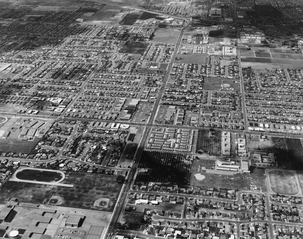
Aerial View of Anaheim at Euclid and Ball Roads. [graphic]
Digital Anaheim.
Description:
Aerial view of Anaheim, with the intersection of Euclid Avenue and Ball Road at center; image shows I-5 Freeway and Broadway
Shopping Center (aka Anaheim Shopping Center; Anaheim Plaza) at top, center; Loara High School campus is visible in lower,
left corner; Modjeska Park is also visible on Loara Street in upper, right corner.
Date:
April 23, 1964 (issued)
Contributing Institution:
Anaheim Public Library
More information about this image