Click image for larger view
Title:
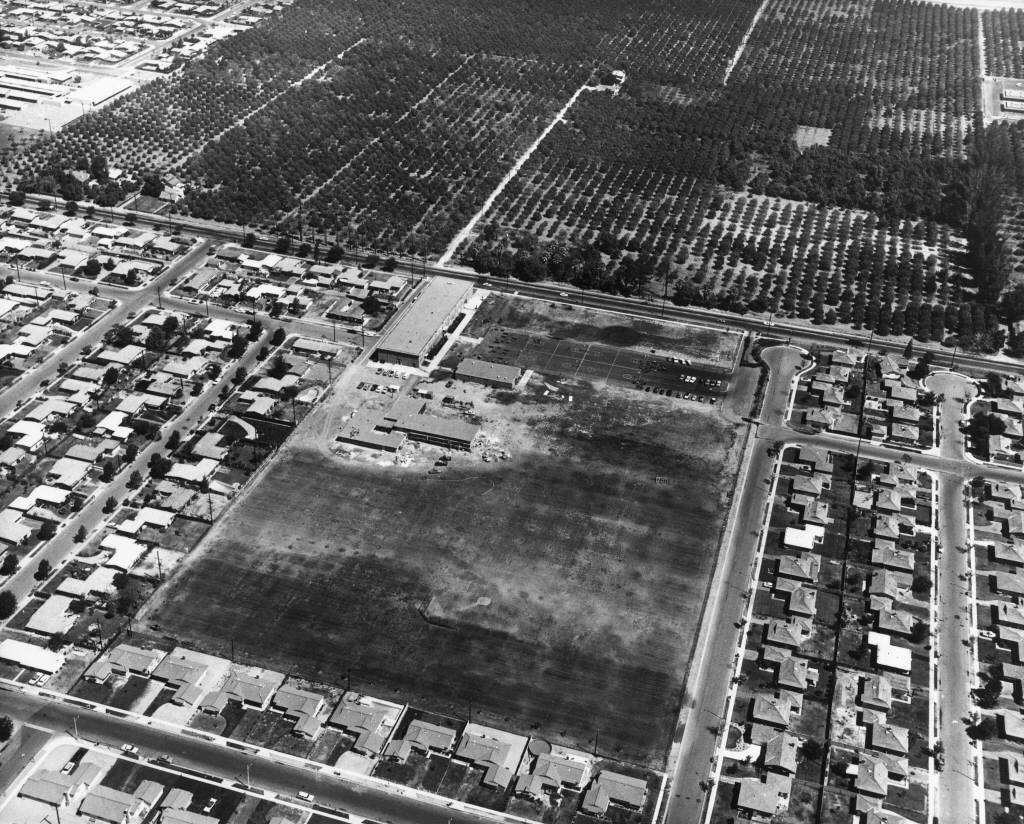
Aerial View of Servite High School and Vicinity, Anaheim [graphic]
Digital Anaheim.
Description:
Aerial view of Servite High School, located at 1952 West La Palma Avenue, and vicinity on 9 May 1961; image shows Servite
High School buildings and grounds in center foreground, with La Palma Avenue Avenue running diagonally across the image, below
the orange groves; West Catalpa Ave. is visible at bottom, left corner; additional streets pictured include West Dogwood Ave.,
North Wichita, North Chippewa, North Keystone and North Fairview.
Date:
9 May 1961 (issued)
Contributing Institution:
Anaheim Public Library
More information about this image