Title:
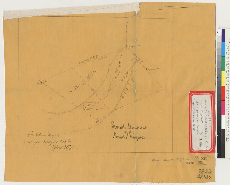
Rough diagram of the Rancho Nogales [Calif.] : line between "Noguls" surveyed May 31st, 1860 / Geo. W. Gift
Description:
4362 L58Pen-and-ink.From: U.S. District Court. California, Southern District. Land case 88 SD, page 865; land case map B-1066
(Bancroft Library).Shows drainage, survey markers, boundaries, roads, etc.Relief shown by hachures.
Creator/Contributor:
Gift, George W. (George Washington), b. 1833, author
United States. District Court (California : Southern District). Land case. 88, Related Name Indexing Term
Date:
1860
Contributing Institution:
UC Berkeley, Bancroft Library
More information about this image