Click image for larger view
Title:
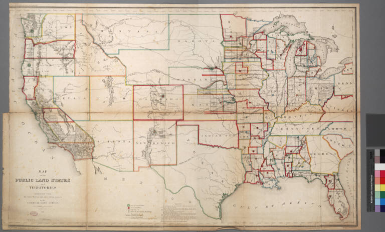
Map of the public land [in the] states and territories constructed from the public surveys and other official sources in the
General Land Office
Creator/Contributor:
Hawkes, J. H, Cartographer
Franks, T, Cartographer
Date:
1865
Contributing Institution:
UCLA, Library Special Collections, Charles E. Young Research Library
More information about this image